GIS & geomatics
Geomatics ties geoscience data to its position: collection, georeferencing, database structuring, publication of maps and applications. It also gives value back to legacy data.
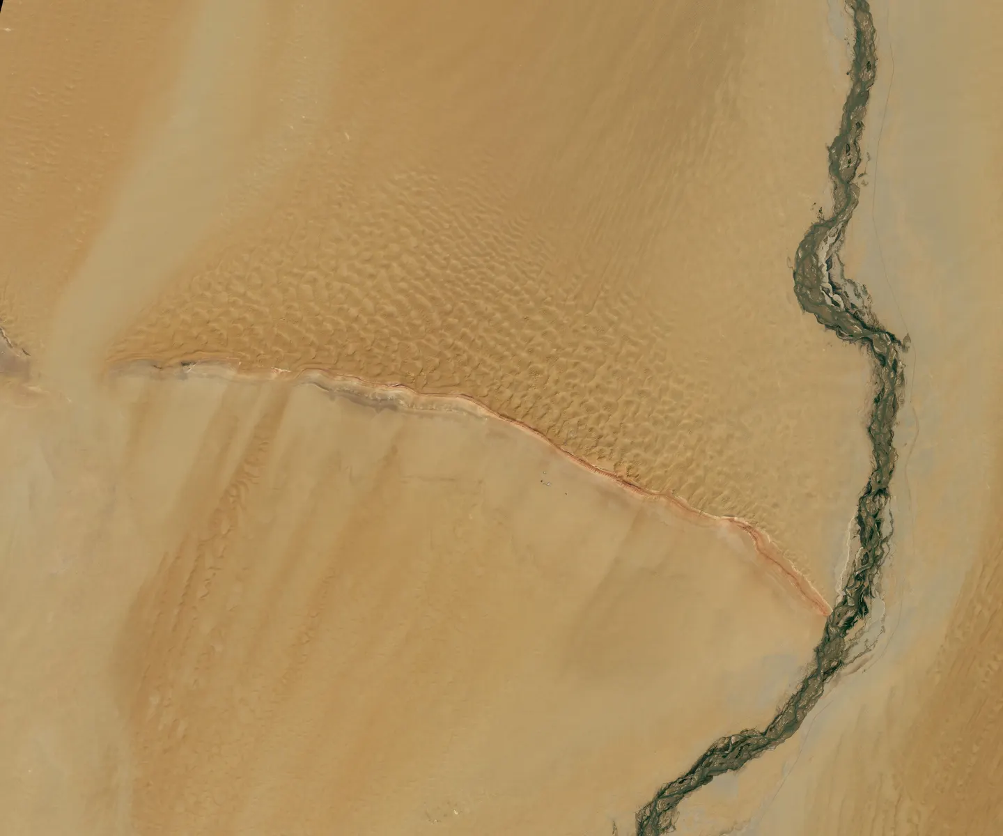
Collection and value
- Collection and analysis of geospatial data and imagery
- Value recovery from legacy data
- Georeferencing
- Vectorisation
Databases and standards
- Database integration
- Standardisation and model migration
- Data audit
- Geospatial database design
Analysis and publication
- Spatial and thematic analysis
- Publication of web maps and map services
- Development of web GIS applications
A context to present?
Describe the dataset, study or operation involved; the request is routed to the relevant expertise.